A small logo I made about GeoData. It was a small task given to me by Adhere during my work placement in 2015.
GEODATA
Geo data is geographical data that brings together everything from the earth. Geodata can be stored in a database, geodatabase, shapefile, coverage, raster image, or even a dbf table or Microsoft Excel spreadsheet.
Geodata, which pertains to the geographical location and features of objects and phenomena on Earth’s surface, is widely utilized in various fields such as geography, urban planning, environmental science, and transportation planning. It encompasses data such as latitude and longitude coordinates, topography, land use, population density, and natural resources. This data is used to understand and analyze patterns and relationships in the physical world.
LOGO
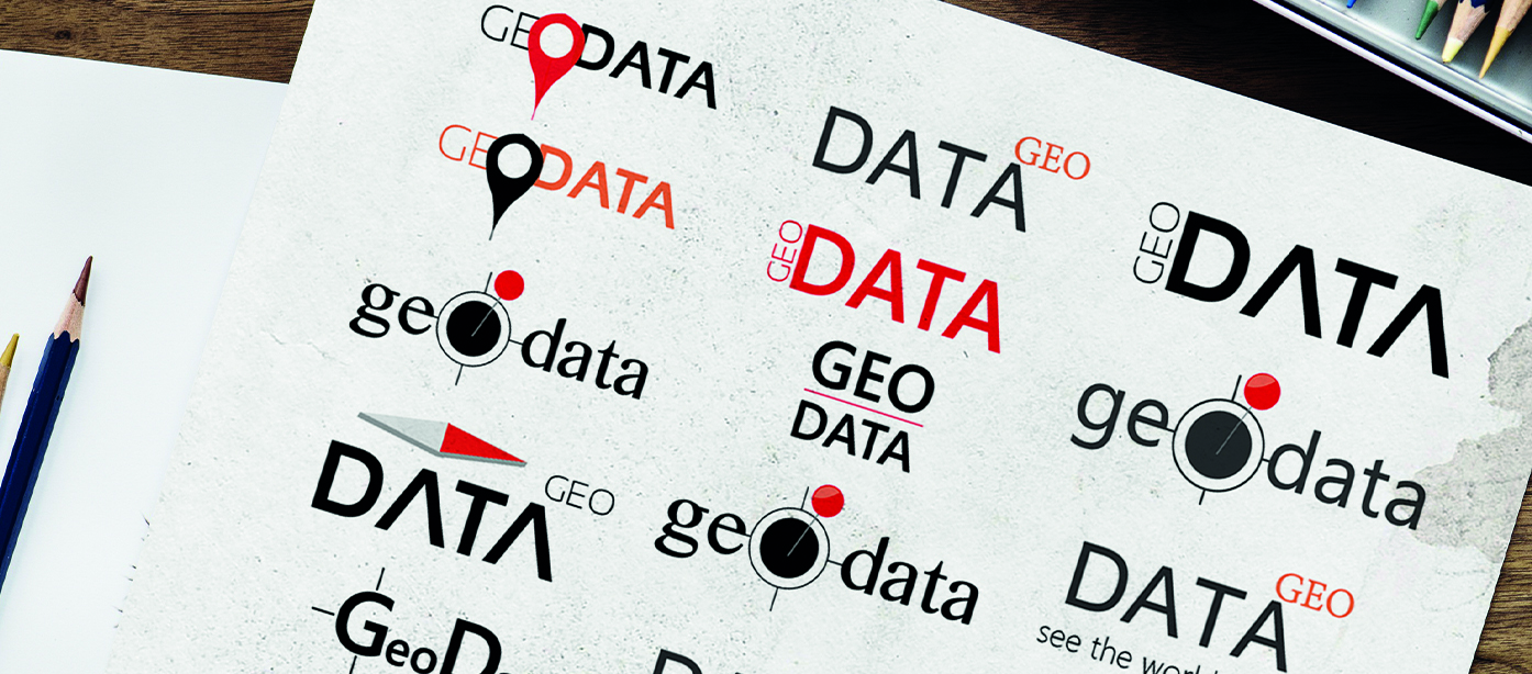
When I joined Adhere at the start of 2015, I eagerly tackled my first task as a rookie. To come up with a nice design. After sketching out different ideas, I finally settled on one and devoted my focus to it. In my opinion, the end result was nice. Below, you can see just a handful of the dozen different sketches I created.
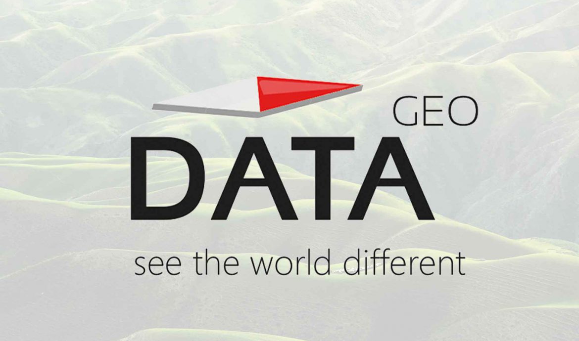
Once I had the general layout drawn out, I designed the logo and successfully captured the data aspect while highlighting a unique point of the field. Adhere was pleased with the final product, which meant that my mission was accomplished.